Here we continue our journey through Turner’s Between Lucerne and Thun sketchbook. On the previous page we left Turner making hasty jottings at the Landenberg above Sarnen. Here he rounds off that survey and looks to the next stage of his journey up the valley.
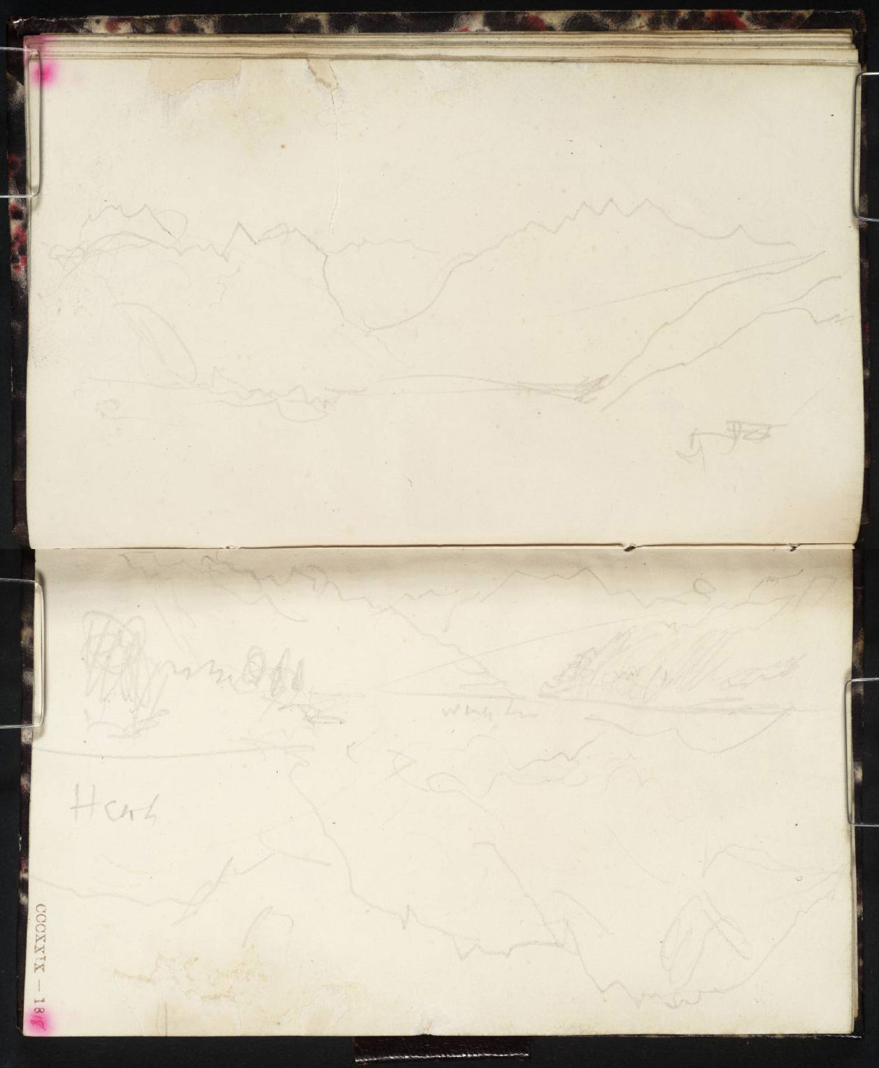
On the top page Turner finishes off his work at the Landenberg by looking to the next leg of his journey past the Sarnersee and on up the valley towards the Brunig Pass.

On the lower page he makes two sketches. The main sketch records the Sarnersee from the lake foot, looking towards Giswil. The moon is setting to the right and the time is perhaps an hour or so later than its appearance in the sketch on f.15a (see previous instalment).
[On a desktop, right click image for option to open full-size in new tab. Close tab to return to this page.]

The weather was unpropitious when I visited in 2014, but Google Earth Streetview has a wonderful 360 degree panorama taken from this viewpoint in April 2018 by Moss Tal.


In the second sketch, made with the page turned round, Turner continues the panorama to the left to record the east flank of the Sarnersee, nearly as far as the entrance to the Melchertal.
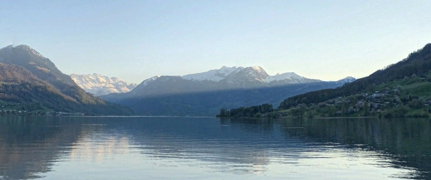
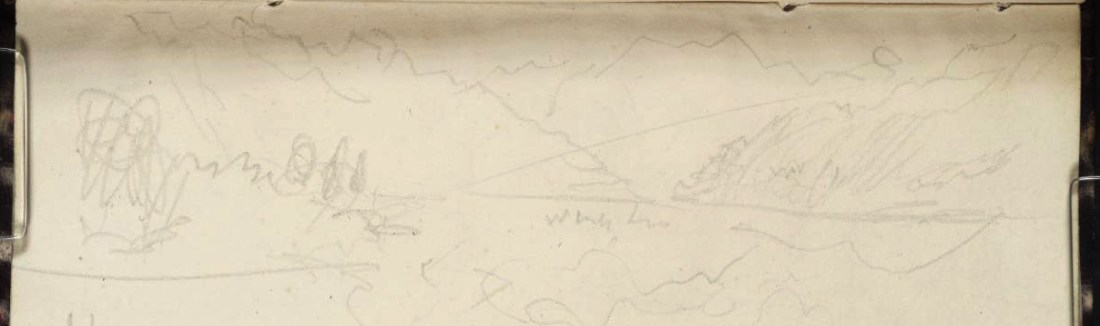

The photograph explains the diagonal lines in both of Turner’s views here of the head of the lake. The sun is now getting low in the west and is slanting in between the mountains on the right. Above the line the air is suffused with light; below it is clear in cool shade. Turner was especially sensitive to such signs of diurnal progress. He appears to have been determined to recall the effect and left himself a note ‘White line’. As we shall see, the effect did indeed lodge with him, and in time became one of the core memories of this journey.

Next: Jolting by Sachseln
