
Here we resume our journey through Turner’s Between Lucerne and Thun sketchbook, leaving Lungern along the old mule track towards the Brunig Pass.
Best viewed full size. On a desktop right click and open in a new tab. Close tab to return to this page

The Brunig Pass connects Lungern with the Haslithal, and hence Lucerne with Meiringen or Brienz, and via the latter to Thun and Bern. The route had been in use since prehistoric times, but until 1861 was no more than a track, passable only on foot, or with mules, horses or cattle.

Once the road was completed the old path mouldered into the woods. In recent years archaeologists have conducted a thorough survey of the original route and found artefacts dating from every period of its history. In the last ten years the path has been cleared, repaired and opened as a walking route. There is a map of the route and a detailed pamphlet, both available online. It is 3.7 km from the bottom of the path to the summit, and most walkers take little more than 2 ½ hours to reach the top. It is 10 km down to Brienz on the other side but a decent walker can cover that distance in about the same length of time. Even in his late sixties, Turner would have managed the crossing easily in a single day. In 1888 the pass was threaded by a railway and today the train takes 50 minutes from Lungern to Brienz.
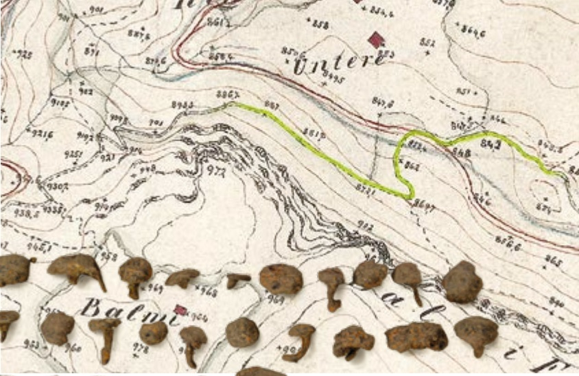
We might wonder how much luggage Turner would have carried. We may get some idea from a note in a sketchbook of 1817 (TB CLIX 101r) that he had lost a ‘wallet’ that contained a few changes of clothing besides various painting materials. In Turner’s time the word wallet was used for a long kit bag that could be carried over the shoulder. He was probably capable of carrying it himself, but might well have preferred to hire a mule or a horse. Another consideration might be his footwear. In 1844 he recorded that he wore out his boots and had to have them heel-tapped. Amongst the variety of archaeological discoveries on the route have been dozens of boot nails. It is an inevitable thought that one of them might have been cast by Turner.
Turner drew on four successive page spreads on the ascent. The trouble is that most of his sketches are so hasty as to defy positive identification. I must confess that I have not had chance to walk the route, so it is possible that some of the drawings might yield to proper pedestrian exploration.
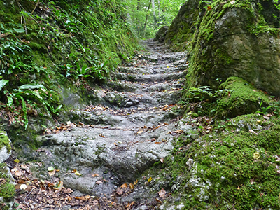
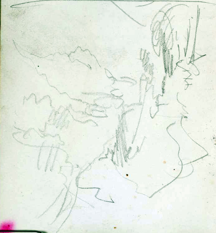
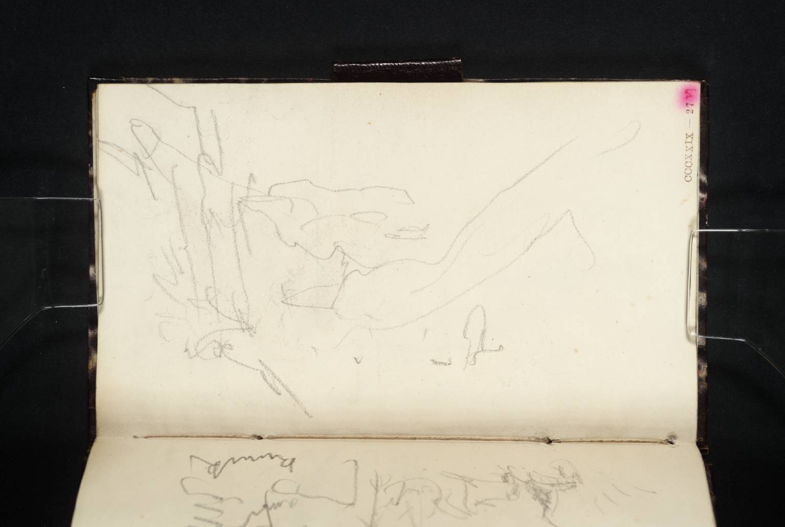
The old route picks its way up through trees to the base of the first limestone escarpment, the Hagsflue, where there is an ancient flight of steps cut into the living rock. There are a few sketches which might record the locality. The first is a few pages forward on f.27v, as if the artist turned over a few blank pages in haste.
It was made very rapidly, but shows a path rising steeply through rocks to the left, with a prospect down a valley to the right.
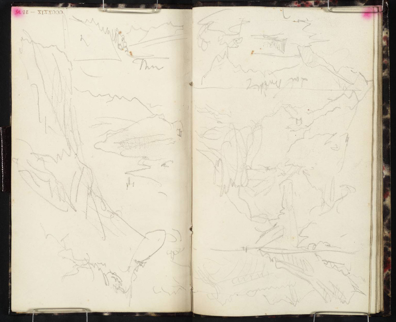
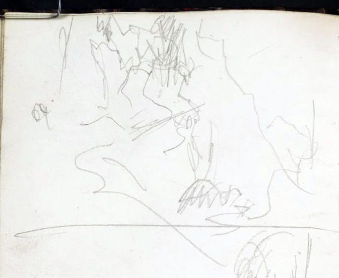
A similar composition, is recorded on 24v, (the sketch centre left, above) showing a steep crag to the left, looking out on the right bank of the Lungernsee. I admit to being uncertain about this, but the stone staircase is one of the few localities where a crag could be thus brought into intersection with the lake. That on the right, 25r shows a mountain horizon above a jumble of scarps and rocks.

It occurs to me that this could be a view down the rock staircase, but the distant hills cannot be verified in any of the photographs that I can find online.
The other sketches on this spread were taken towards the end of this tour, when the book was almost full, and Turner was squeezing sketches into any remaining space. We will discuss these in due course.
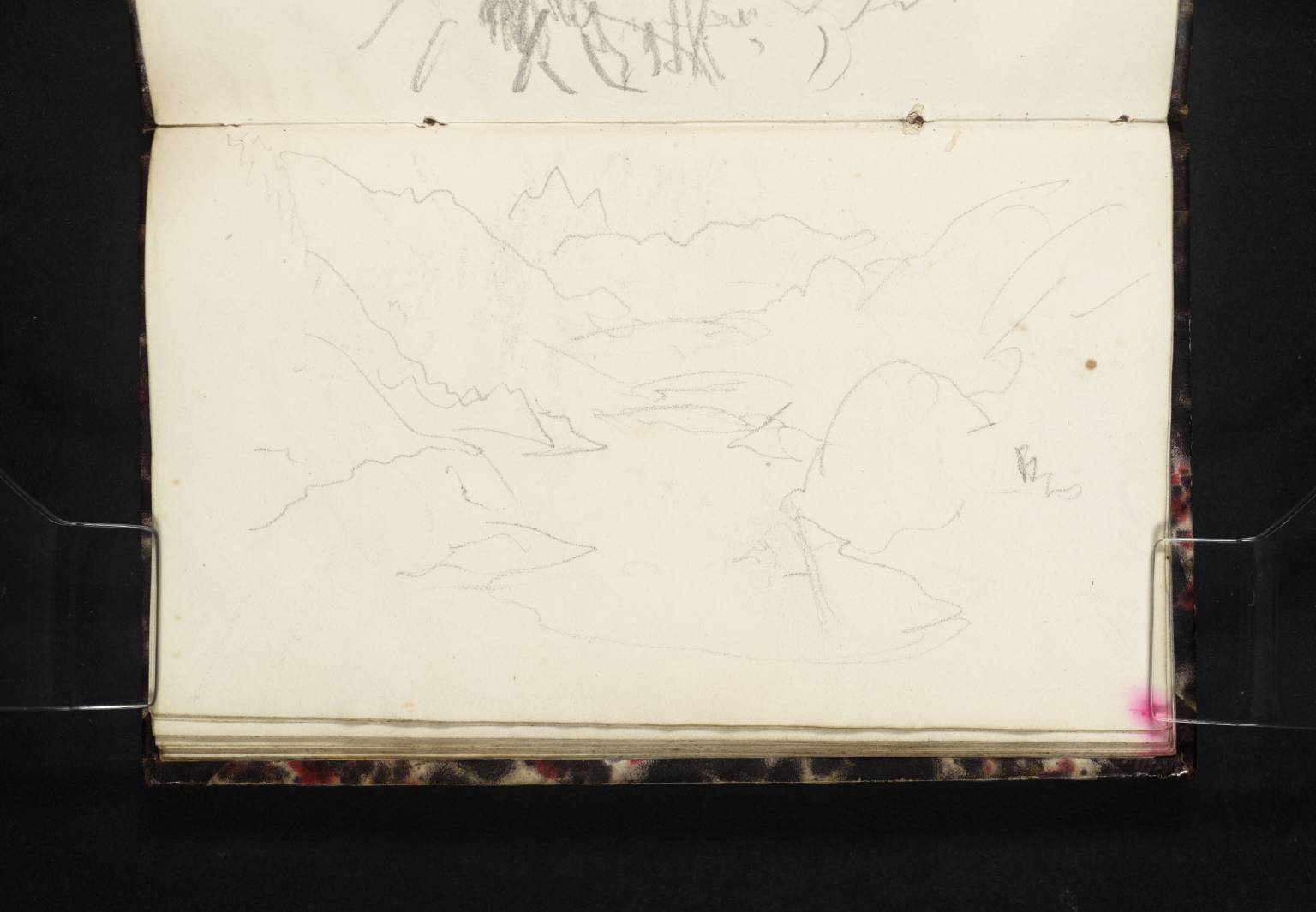
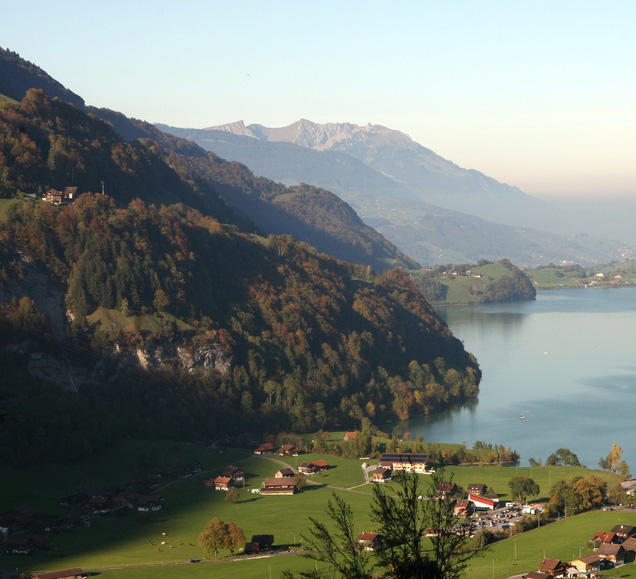
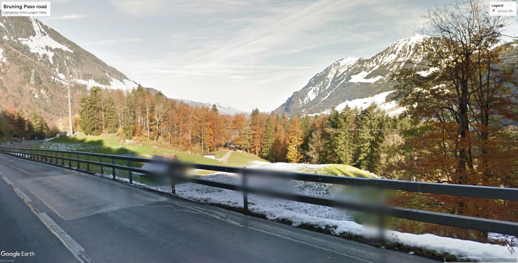
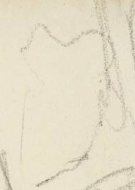
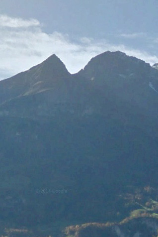
Above the Hagsflue the path picks a way up a broad, rough ramp beneath the next flight of cliffs, the Balmiflue. It eventually outflanks the crags to turn a corner left and find the gap through to higher ground and the Brunig corridor. Somewhere on the brink of the Hagsflue Turner found a view (f.25a) looking down onto the Lungernsee with Mount Pilatus in the distance.
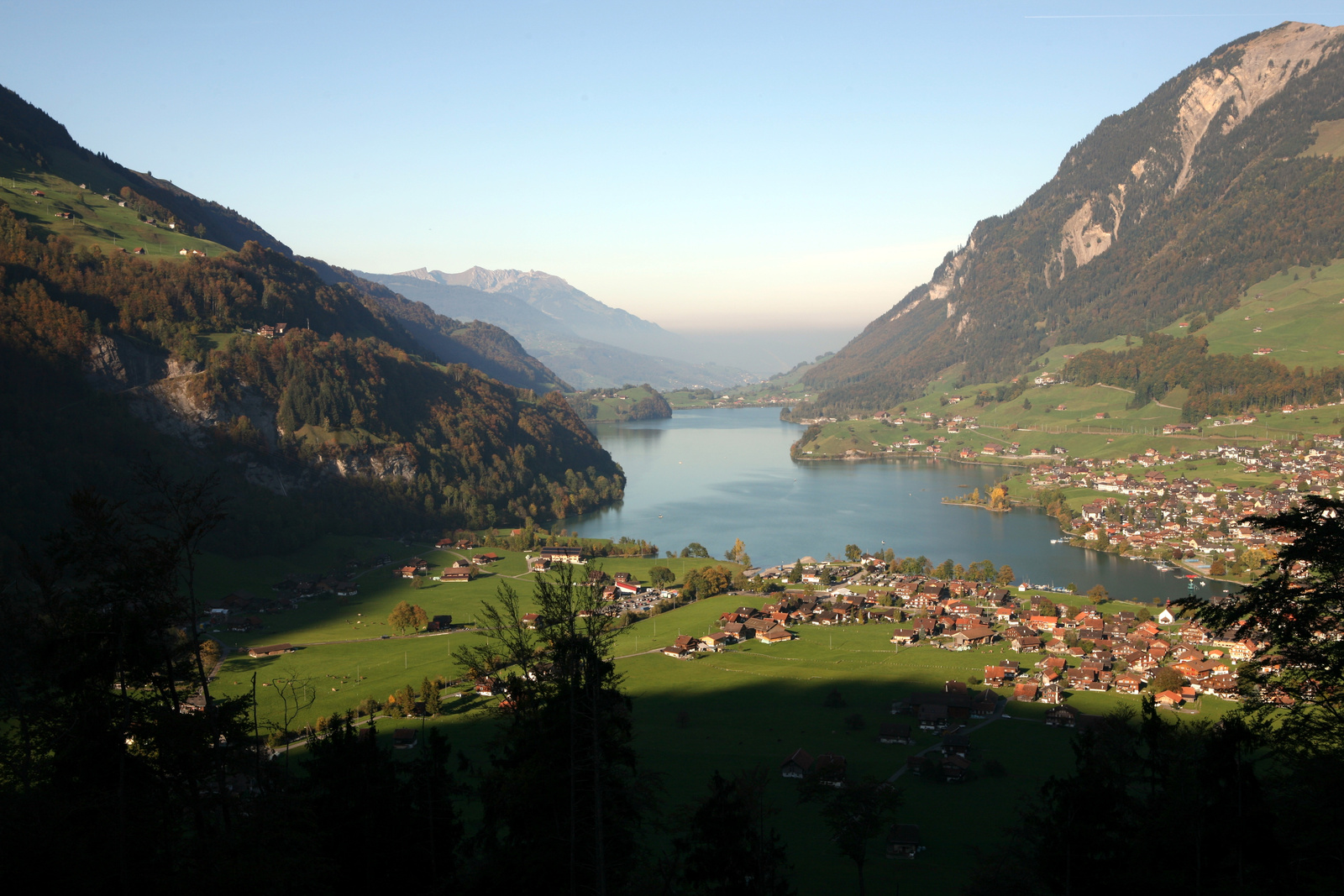
Most visitors today enjoy the view from a popular belvedere called the Chälrütirank where the modern road makes a loop round to the edge of the Hagsflue before turning to ascend towards the Brunig. This viewpoint was only opened by the building of the new road and the old path passed it by, so it remains an open question as to exactly where Turner obtained his view. Comparison with a photograph taken in perfect autumn conditions in 2011 by Nicolas Dupuis suggests that Turner’s viewpoint cannot have been far away. The critical reader, however, will already have observed that whatever the viewpoint here, the sketch is more than a little abstracted.

It is perhaps time to give this problem some thought, for it is hardly the first time on this tour that we have had occasion to wonder at the accuracy of Turner’s drawing. Here not a single profile or proportion corresponds closely with the photograph. But does the drawing correspond with the experience of the view? We tend to trust the photograph implicitly, and indeed to such an extent that we allow photographs routinely to displace experience. But perception is a dynamic, synthetic process in which significance is extracted from raw data. It is also an educated process. With enough practice and time, the powers of visual perception become ever more amplified.

So Turner transforms the peak of Pilatus into the cipher of a crown and the peninsula below Lungern into an exaggerated hump. The odd thing is that my recollections of the place much more resemble the version given by Turner than by the camera. In many ways perception occurs where observation ceases. This drawing makes me propose that Turner sometimes found it most useful not to look back at a subject once he had begun to draw. I have several times suspected, indeed, that he turns his back, as if to prevent ocular experience from diluting the imaginative. As I have also observed previously most artists have no strict programme or method. Turner was as equally interested in allowing the phenomenal real to write itself unmediated onto his page. Here, however, he seems to prefer to draw from the memory.
The old path crested the Balmiflue in a series of ascending zig-zags, and on f.27r, slightly out of sequence, Turner sketched the view back to Pilatus over the left bank of the Lungernsee. The profile of Pilatus, it has to be said is a little more naturalistic. Perhaps he was glad to take a little more time over it, so that he could catch his breath on the climb.
Shortly after turning the Balmiflue, the Brunig path gives a final glimpse into the Lungern valley.
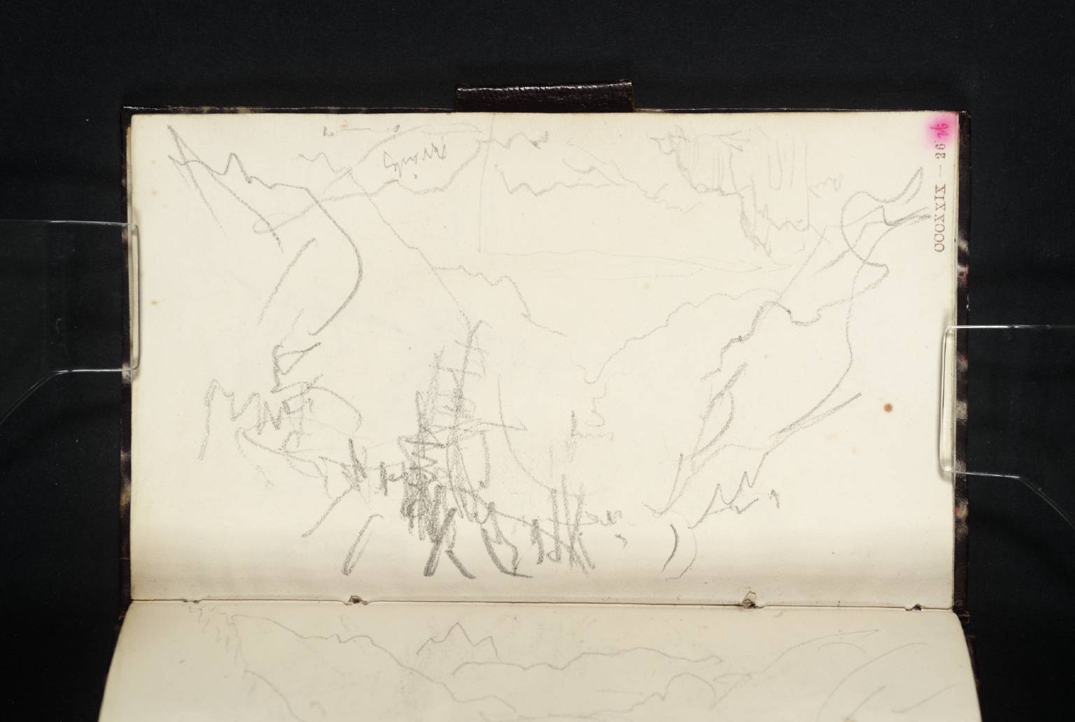
On f.26r Turner made a quick jotting of a receding valley prospect. Turner was always concerned to record key turnings in the road, and here on the Brunig he seems to have been trying to record the complete succession.
This page also includes a sketch (upside down) of Lake Brienz, made later in the tour. We will discuss that in due course.
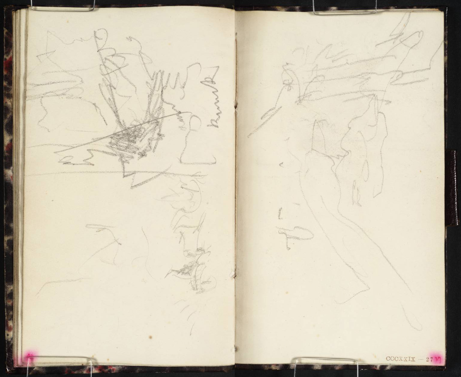
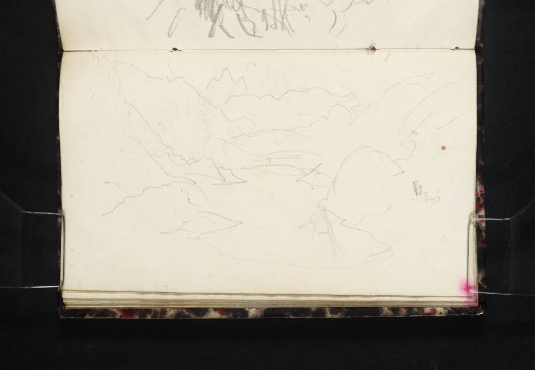
The next page spread presumably records views ascending to the pass but the sketches are so scrappy it seems a faint hope that their subjects might be identified with complete certainty.
That on f.27r is a quick sketch looking the track and is with crags on the left. The crags are perhaps those of the Cholhuttlewald, on a straight stretch of the track leading up to the summit.
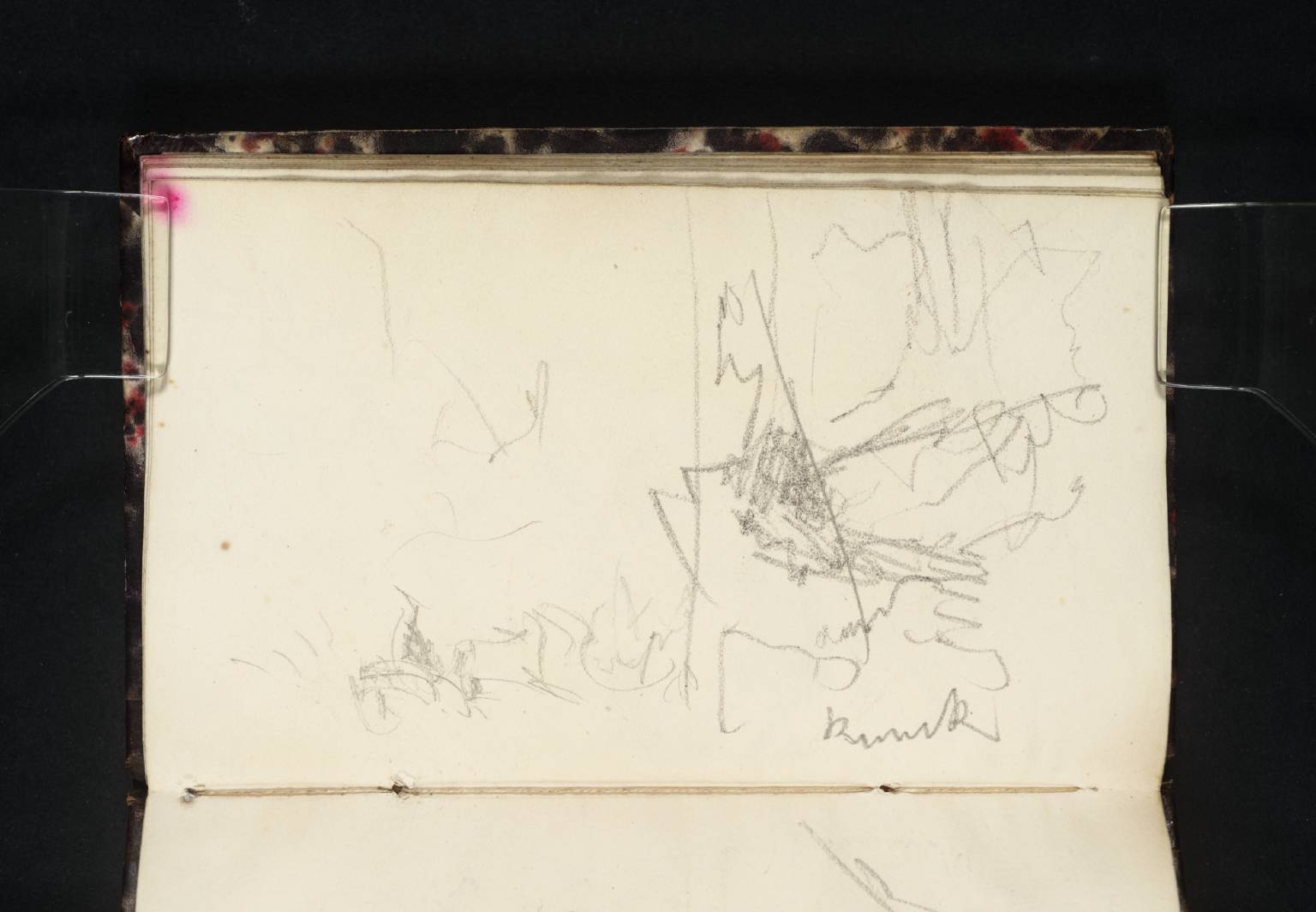
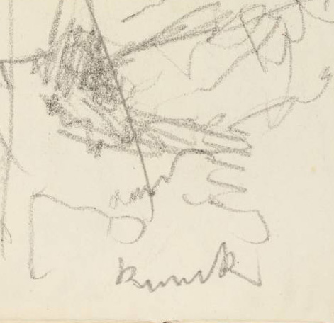
On the opposite page (f.26v) are two sketches, perhaps the two most indecipherable in the whole sketchbook. That to the left shows similar crags to those opposite, ie the Cholhuttlewald nearing the summit, but who knows what to make of the scratchings in the foreground? On the right, viewers might be forgiven for thinking the sketch mere unintelligible scribble. It might not even be possible to work out which way up it is meant to be were it not for the inscription at the bottom. Nor can we be entirely certain of that, but it does appear to read ‘Brunik’. With perseverance, however, it is possible to construe something.
There are hilltops at the top left, and might very well be those of the Wandelhorn and Garzen. The comparison of details is close, but given that we have just seen how he drew Pilatus, we ought to be cautious at claiming such a distinct resemblance. Before the road and rail ways were blasted through, the old track climbed to the gap to the north of the present station. This sketch might very well record a first glimpse of peaks on the far side. After a climb of 350 metres, the artist might very well be expected to express the effort in his calligraphy.
Arriving at the summit, Murray’s Handbook for Travellers to Switzerland set up visitors for a serious disappointment. ‘From a little chapel near this [the culminating point of the pass] a charming and first rate view is obtained along the entire valley of Nidwalden, backed by the Pilatus, with the Lungern See for a foreground, forming altogether one of the most delicious scenes in Switzerland.’ Murray is mistaken. There is no sight of Lungernsee from the summit of the pass. He was almost certainly thinking of the view by William Bartlett published in William Beattie’s 1836 Switzerland Illustrated.

The plate certainly invites misapprehension, for it is titled ‘Mont Pilatus – from the Brunig’. It does show Mount Pilatus along the length of the Lungernsee, but Bartlett’s viewpoint is a small Bergkapellle perched on the top of the Balmiflue above Lungern. Unusually in Switzerland Illustrated there is no commentary on the actual location of the view, so Murray can be forgiven for having being led astray. The chapel stood not far from the where the railway burrows through the crest of the Balmiflue in a short tunnel, but was replaced by the present Bruder Klaus chapel in 1886.
We can imagine that Turner would at least have cast around a little looking for the promised prospect, and perhaps worked out Murray’s mistake, for he would certainly have known Bartlett’s image. Summit of the Brunig or not, Turner would have been forced to concede that the young man had done well to find out such an outstanding vantage point, some distance, it has to be said from the normal Brunig route. He must have sought out local knowledge and guidance.
It seems plain, however, that Turner’s sketches on this trip were made with a product in mind very different to the contented sense of scopophilia represented by Bartlett. They are, instead, a process by which experience could be invested into his imagination. They sequentially assimilate key turns in the road, sights opening and closing, gradient, effort, texture, and the whole material experience of traversing and navigating through place. Turner’s landscapes have not just been seen; they have been travelled.
Next: Descent from the Brunig to Brienz
