Here we continue our journey through Turner’s Between Lucerne and Thun sketchbook. In the last part we left Turner arriving at the summit of the Brunig Pass to discover that a view promised by Murray’s Handbook for Travellers in Switzerland did not in fact exist. Murray claimed a view back to the Lungernsee and Mont Pilatus, but neither are visible from the summit. Turner, however, did not give up the search easily.
Best viewed full size. On a desktop right click and open in a new tab. Close tab to return to this page
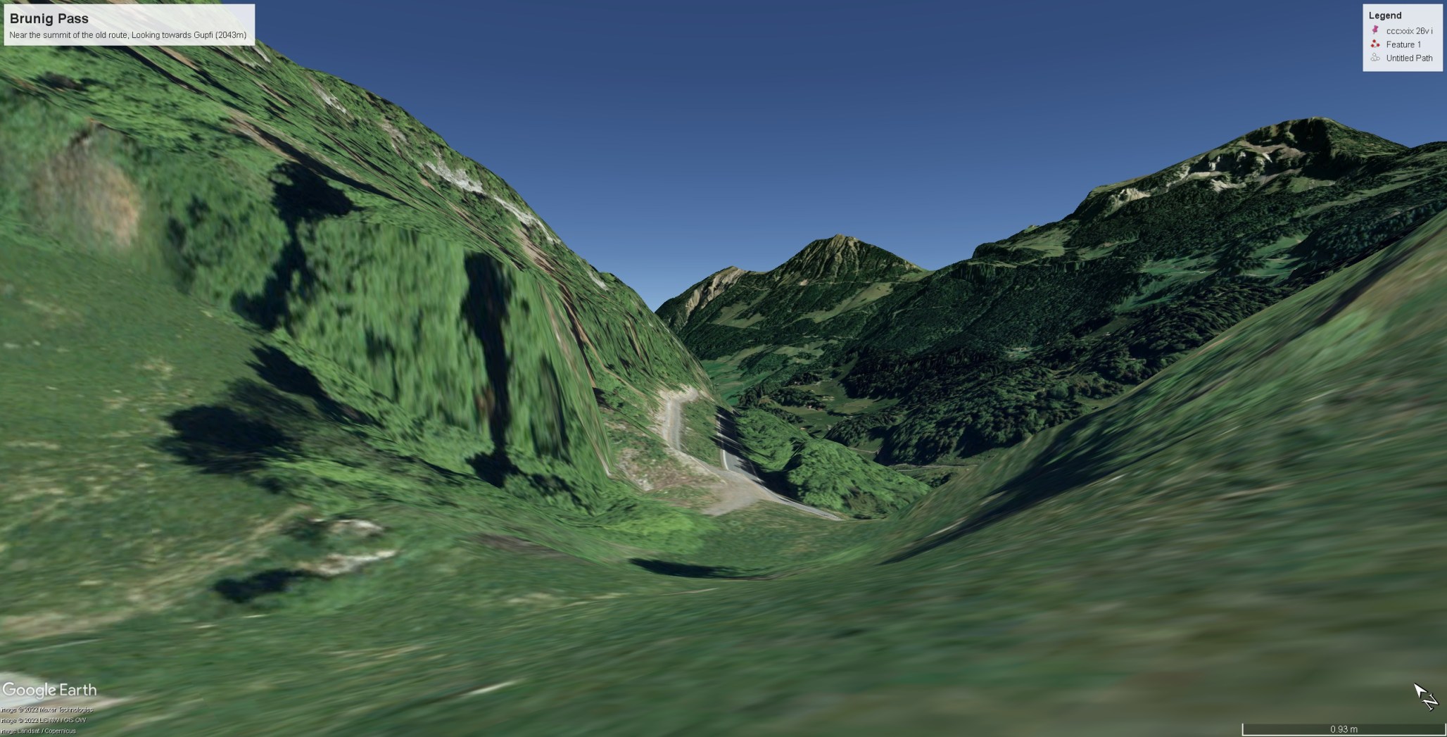
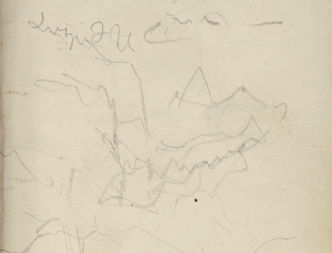
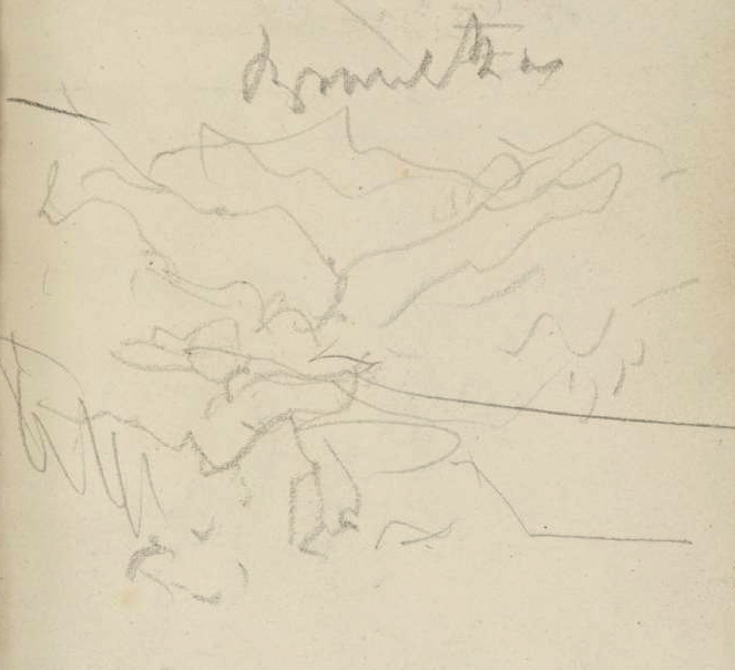
All the way up the pass he had monitored the view back down the valley and recorded Pilatus and the Lungernsee slip out of sight. His final observation was just a few feet below the crest (the centre sketch on f.28r) looking back along the route that he had just travelled, with the crags of the Cholhuttliwald to the left and the undulating pastures of the Brunigwald towards the peak of the Gupfi (2043m) in the distance. The mountain presides over Lungern and its lake, and presumably with that in mind, but not knowing its proper name, Turner labelled it ‘Lungern Hill’.
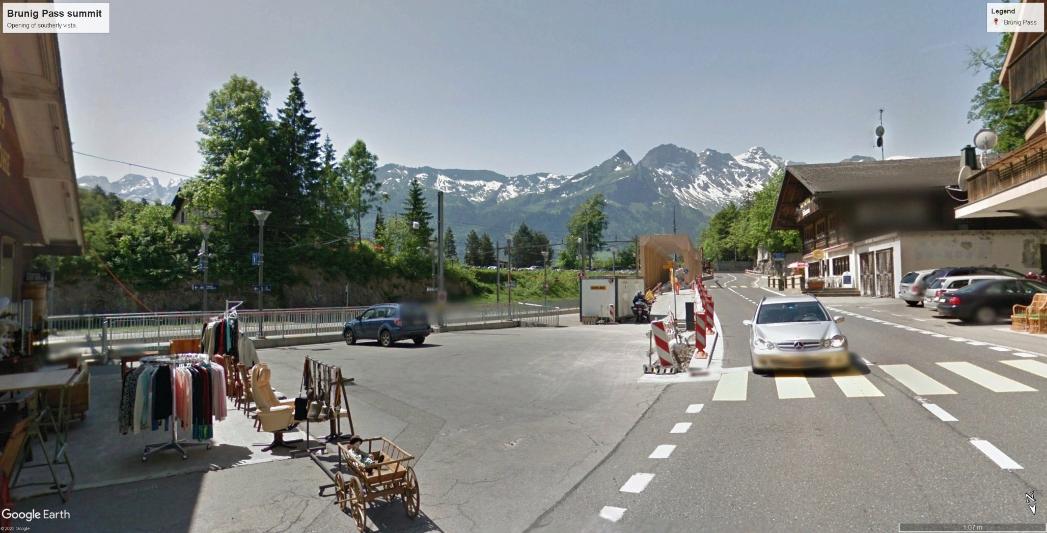
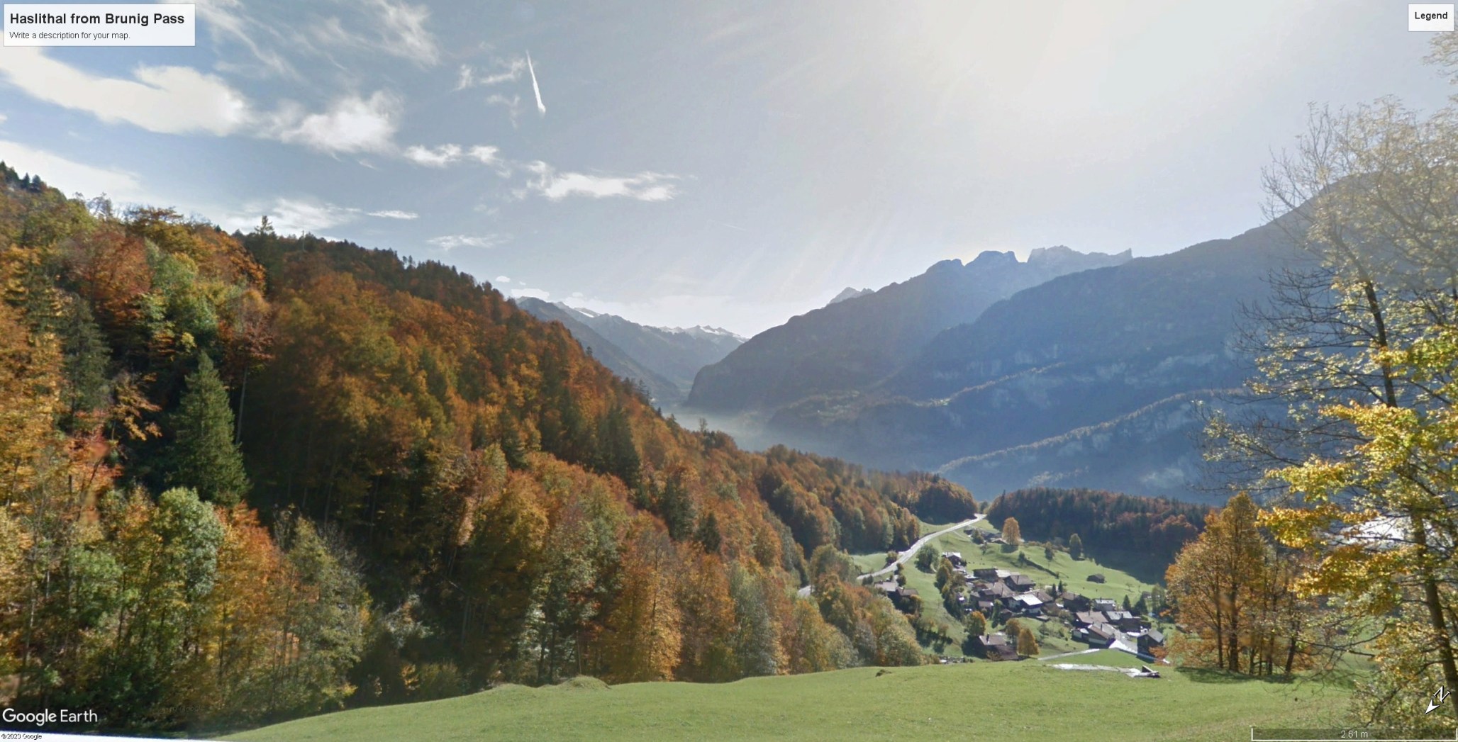
Despite the limitations of the view back towards Lungern, the view forward to the Haslital is by no means an anti-climax. The impact today is perhaps diminished in sublimity by commercial development around the railway station but the old footpath passes through the pastures of the valley behind the hill to the right [see map below], and on foot the surprise can still be enjoyed in tranquillity. Murray enjoined: ‘the traveller has only to proceed a few yards farther, to the brow of the descent, where the valley of Hasli, with the Aar winding through the midst, opens out to view, backed by the gigantic and snow-white crests of the Wetterhorn, Eigher, and others of the Bernese Alps. Here the road separates, one branch leads to the lake of Brienz on the rt.; the other to Meyringen, seated in the midst of the rich fat, which forms the bottom of the valley. From the opposite precipices, two or three streaks of white may be discerned – these are the falls of the Reichenbach.’
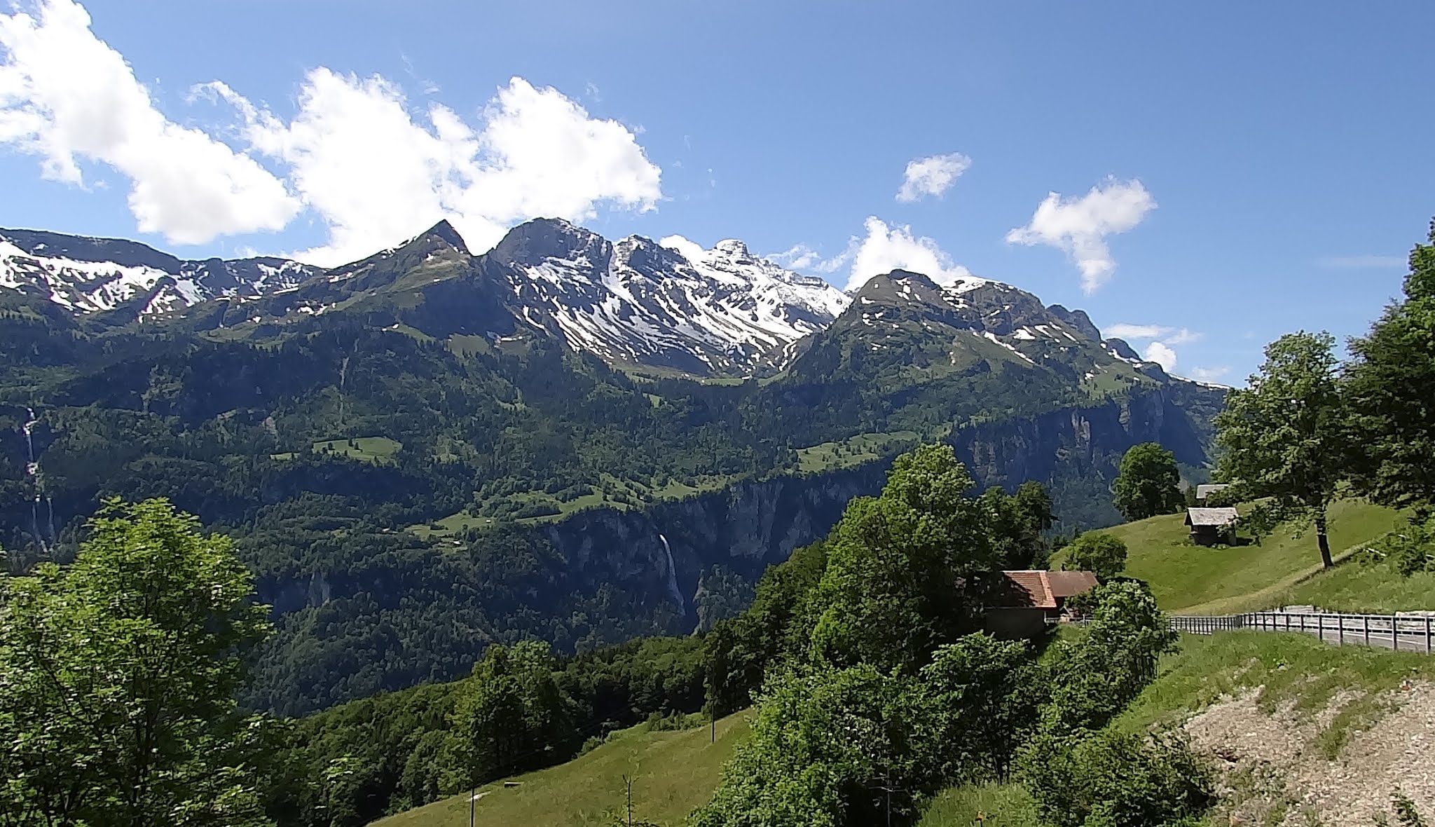
Murray is again in error. As spectacular as the view undoubtedly is, none of the high Bernese Oberland peaks can be seen from here. The Eiger is hidden behind the Wandelhorn and Garzen in the centre of the field of view, and the Wellhorns and Wetterhorn hide behind the ridge of the Grindelgrat to the right. On site, the extremely sharp-eyed might just make out the tip of one solitary 3000m peak in view, that of the Dossen (3138m), just peeping over the descending ridge of the Grindelgrat to the left.
Best viewed full size. On a desktop right click and open in a new tab. Close tab to return to this page

He was possibly again misinterpreting what he had read in William Beattie’s Switzerland Illustrated: [ vol.2 p.123] ’A boundary-stone on the summit of the Brunig marks the coterminous frontiers of Bern and Unterwald, and a short walk farther brings us once more among the unrivalled scenery of the Oberland. In respect of the Wetterhorn, just mentioned…’ Beattie only mentions the latter to tell a picturesque story about the spirits of the mountain protecting it against gold miners. He does not actually say that it can be seen, nor does he say any more than we can see some impressive scenery of the Oberland, which indeed we can, just not any of its mightiest peaks. It is perhaps redundant to add that nor can we see the Reichenbachfalls from here. Those are near Meiringen, some distance further up the valley to the left.
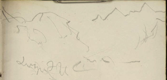
Turner possibly knew that the hills in view – from left to right the Wandelhorn, Garzen and Schwarzhorn, were not those of the first rank of public interest. At the crest of the pass he made no more than a quick note of their profile with the guardian knoll of uf der Schanz (1043m) to the left.
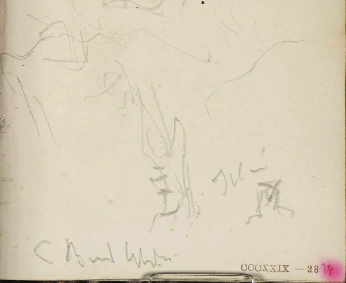
Nothing at the summit seems to have quite chimed with him as a potential subject. Just past the crest a view opens up the Haslital towards Meiringen, and, as usual, he made a memo of the first impression, but could find no more in it to merit more than a few lines.

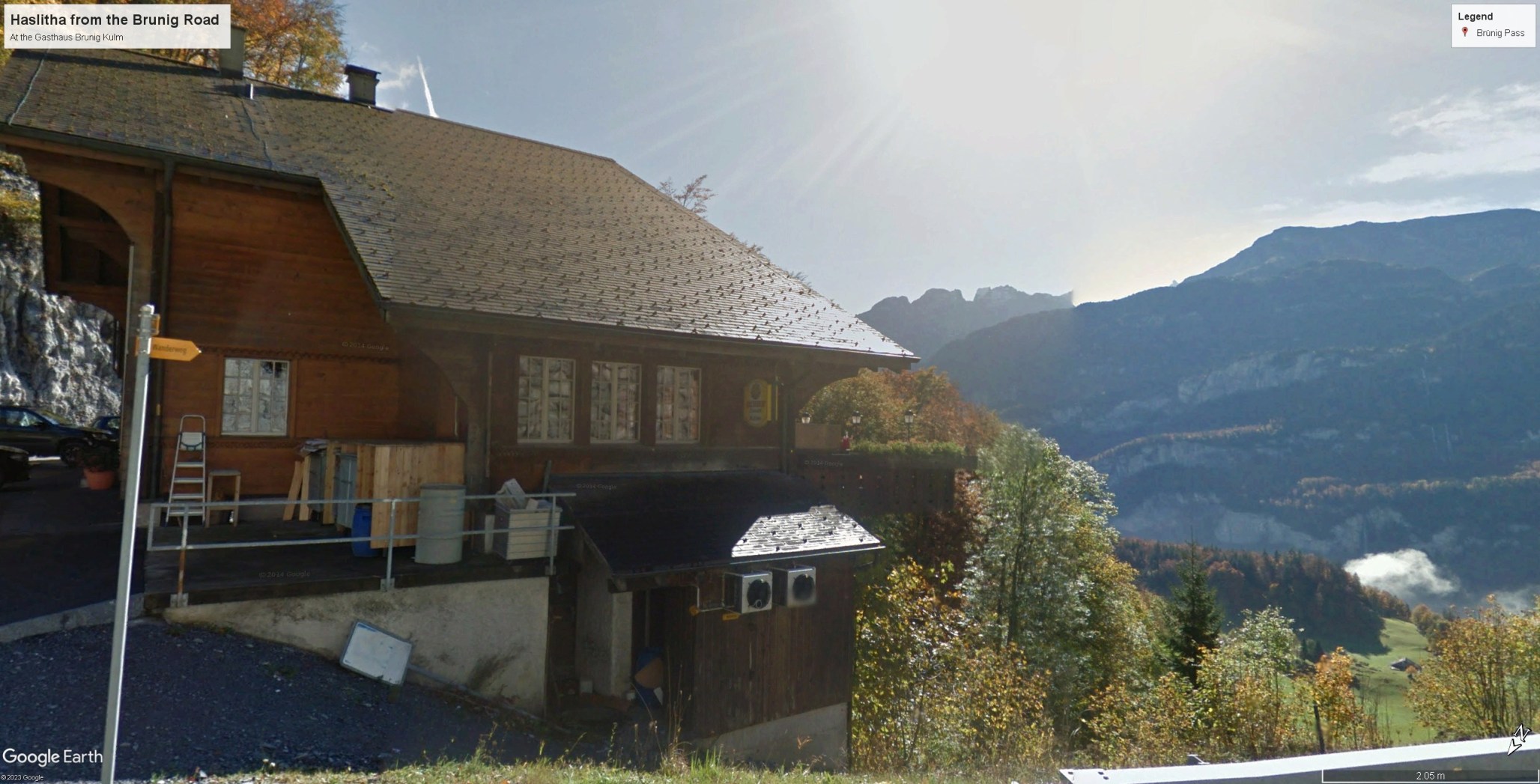
A hundred metres or so beyond the summit, however, there was a chalet tucked into the gulley. It is marked on maps as ‘Wacht’ or guardhouse, and presumably long served travellers on the pass.

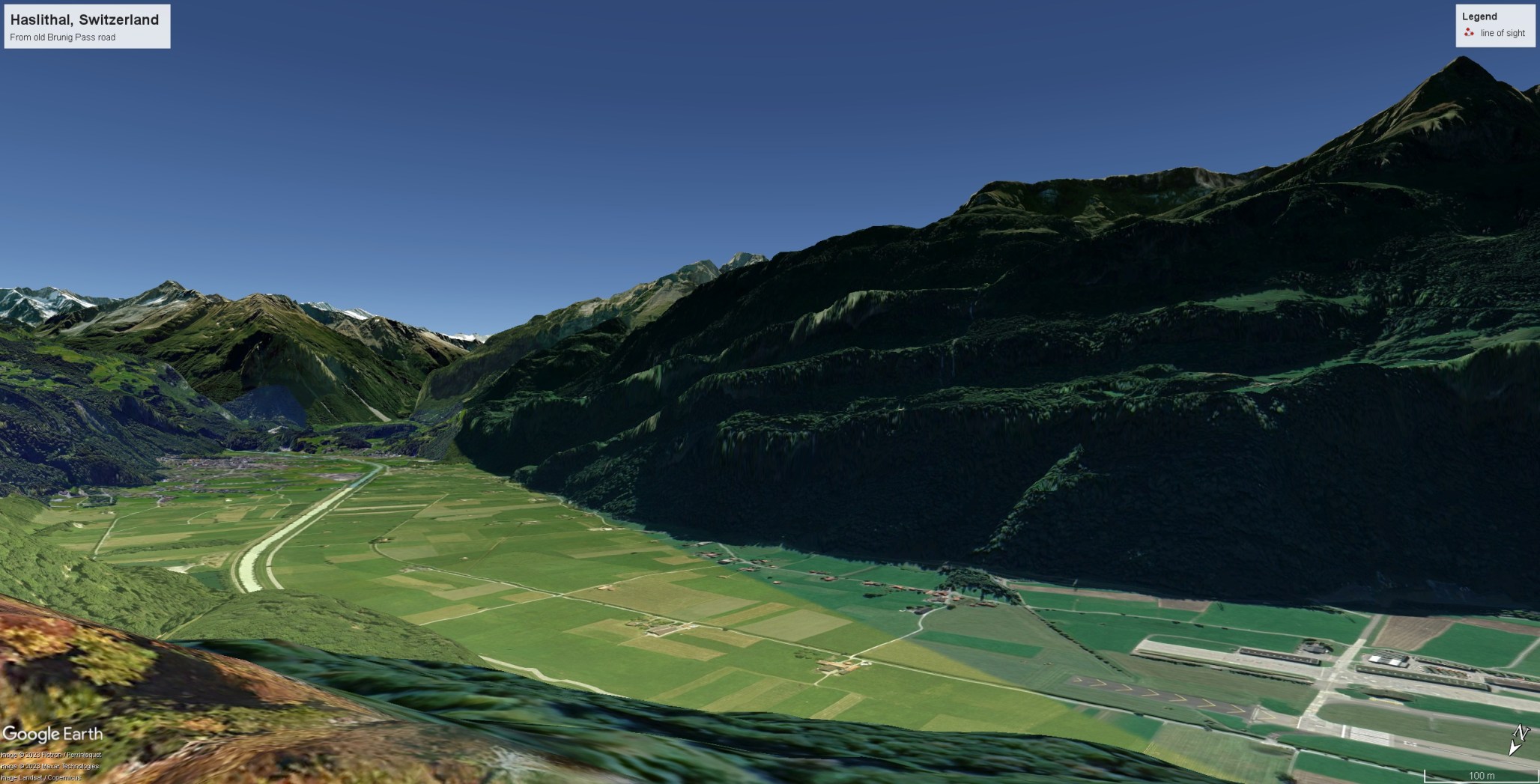
When the new road was built it was enfolded into the bend leading to the new summit, and has evolved into a splendid restaurant and guesthouse with a broad terrace commanding a wonderful view over the Haslital. Google Earth has a splendid photograph of the situation posted by Dhilip Buddha.

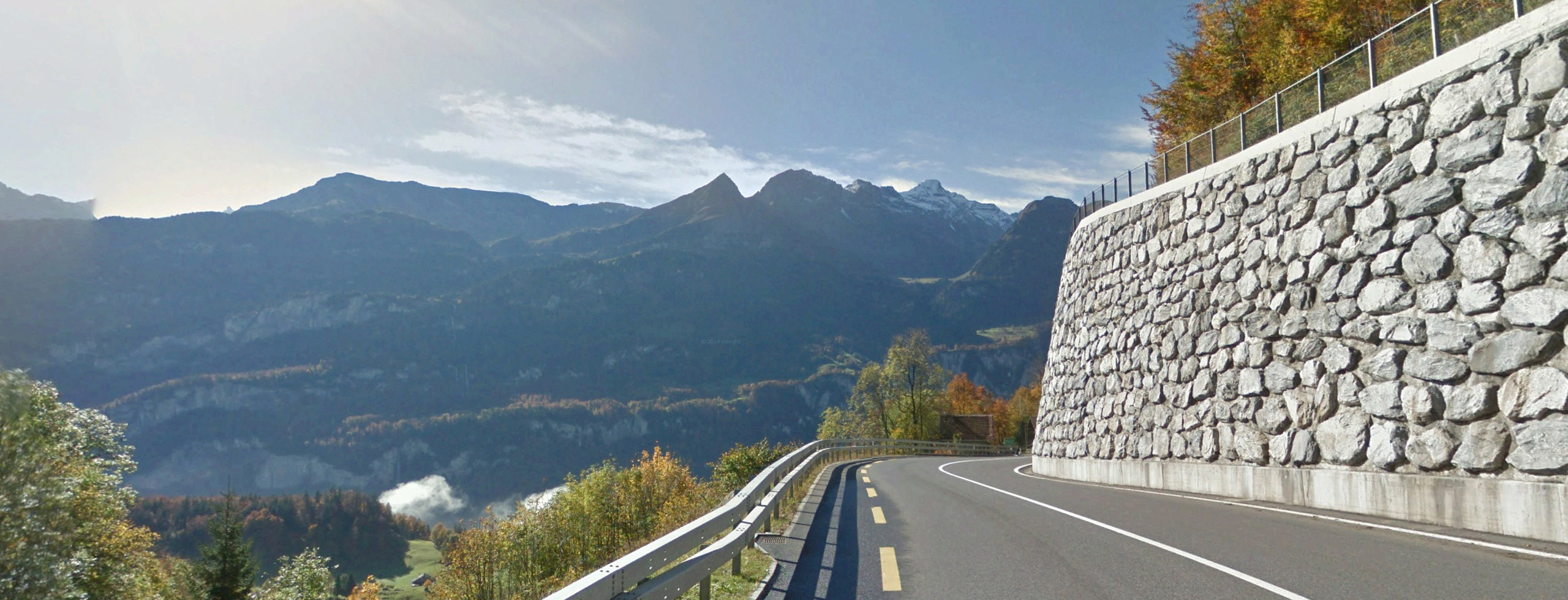
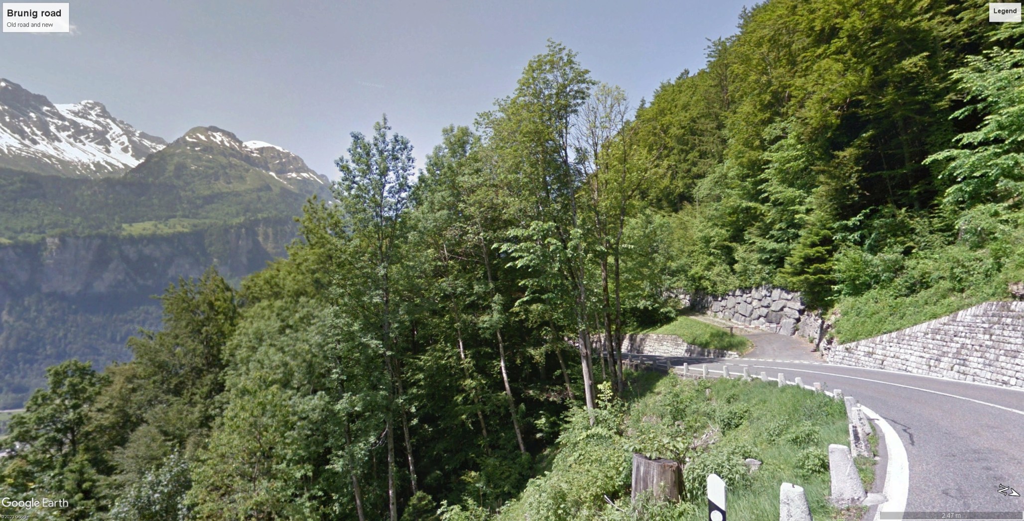
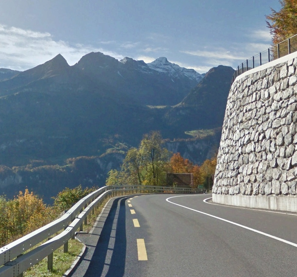
From here the road begins a steady descent and the view opens increasingly impressively. Turner’s attention was fully engaged, and he filled a page-spread with firm and purposeful sketches. The old chalet appears in at least two drawings; significant records of the appearance of the building at this time. Visitors, however, ought to be advised NOT not attempt to follow in Turner’s exact footsteps on the road. The Brunig Pass road is busy with vehicles seeking to make purposeful progress. The driver of a heavy wagon, coach or tanker will not be pleased to find some blithe Turnerian taking photographs in the carriageway. For the properly dedicated there is instead a well-protected path along the top of the retaining wall which offers a wonderful vantage point from which to take in the views. For the less exacting, there is always the terrace.

The first sketch (28v i – left page above, upside down) was taken from by the side of the old chalet, recording the first view up the Haslital with the valley closed by the fluted and ground-down teeth of the Hohjegiburg and Englehorns. Turner inscribed the sketch below but it is difficult to make the writing out with certainty, but it might possibly read ‘East’ [?]

A little further along the way [please heed my caution against walking on the road] Turner stopped to make another sketch (29r, top) up the Haslital, now opened up even further. He appears to have condensed the panorama sufficiently onto the page to include the chalet at the left.


From almost exactly the same viewpoint he continued on the opposite page (28v, upper sketch) to record the view further round to the right, looking into the valley below the peaks of the Garzen and Schwarzhorn. Below the peaks we can make out the waterfall of the Oltschibachfall. Turner clearly did not accept Murray’s identification of it as the Reichenbach, and appears to have made enquiries as to its proper name. He wrote it down as he heard it: ‘Elsheba’.
The track towards Brienz picked a route across the craggy slopes below the cliffs of the Tschuggen. A well-graded track has been established here since prehistoric times, and the traverse is now managed on a smooth, wide, well-protected road. It is possible, however, to walk significant sections of an older road which runs a few metres above the modern carriageway, and perhaps even to make out sections of the ancient track above that.
Best viewed full size. On a desktop right click and open in a new tab. Close tab to return to this page

On this section Turner found an almost complete panorama of the Haslital, beginning with the peaks of the upper valley beyond Meiringen, panning right past the crest of the Englehorns, to the ridge of the Wandelhorn, Garzen and Schwarzhorn, and stretching as far as the lower slopes of the Oltschiburg, descending almost to Lake Brienz. It is a field of view of almost 180 degrees, and called forth the most relaxed sketch of the whole crossing. Here we may sense that the artist had found something worth sitting down to enjoy. No treatment of this in watercolour has yet been identified, but it seems certain that Turner mapped the terrain clearly enough to retrace his progress through it in paint.
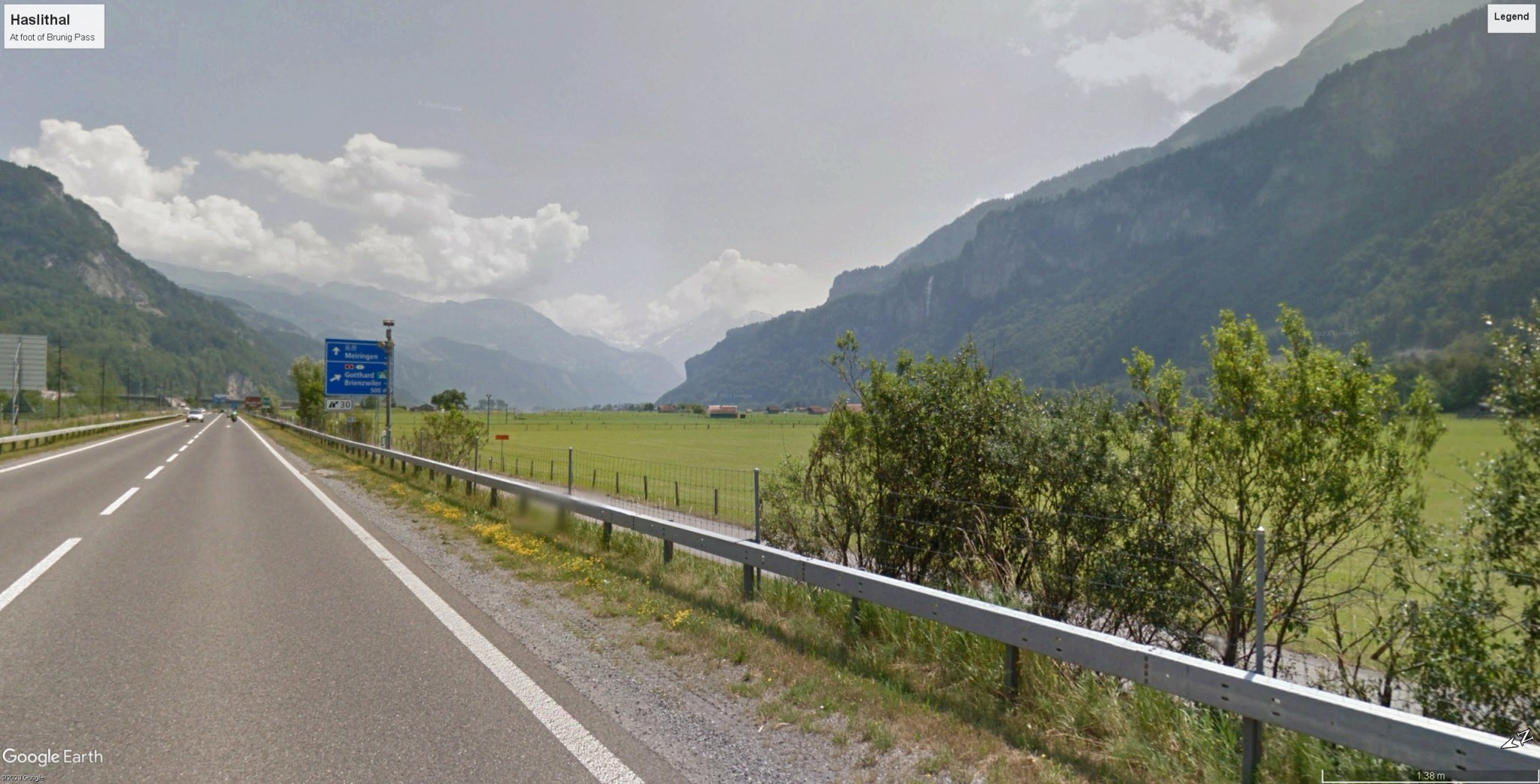
By the time that he reached the valley floor, he must have been on the road from Lungern for six hours at least, and possibly more with stops for sketching, and by this time he would certainly have been looking forward to some rest and refreshment at Brienz. Filling a blank space at the bottom of f.29, he made only one quick sketch of the view up the valley from the bottom of the pass. A proper exploration of the valley itself could wait for another day.
Next: Morning on the Brienzersee
